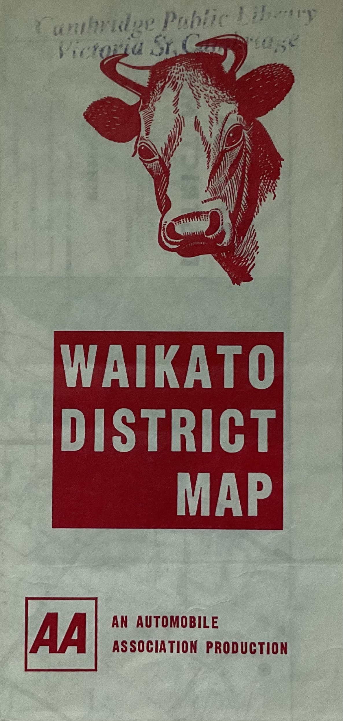
9 x 19.5 cm (45.4 x 58cm unfolded) 1976 Waikato district map.
Off white with red text and graphics with full colour map of the district. Front cover has a monochrome red graphic of the head of a dairy cow top centre with Waikato district map written in white on a red square. The AA logo and An Automobile Association Production is printed in the bottom centre.
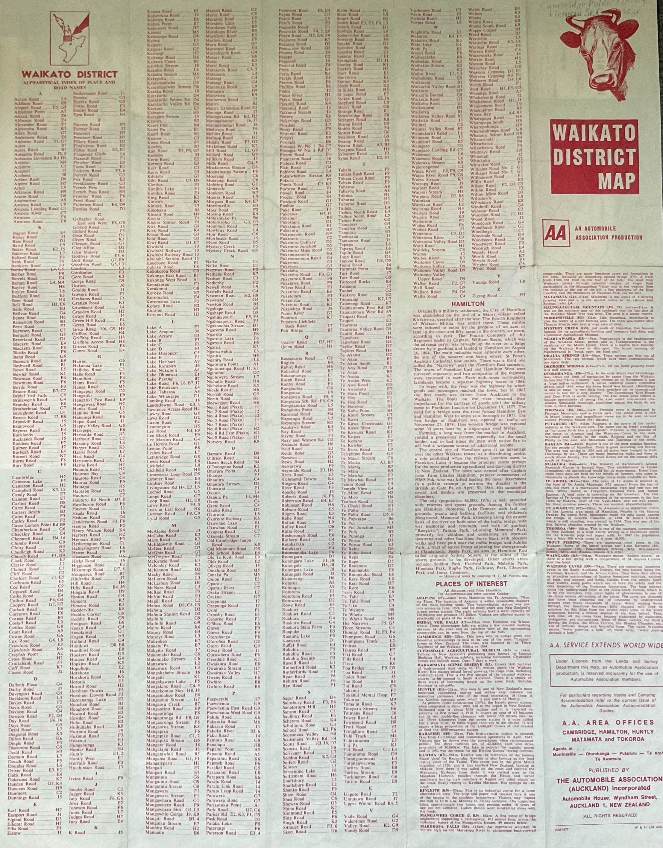
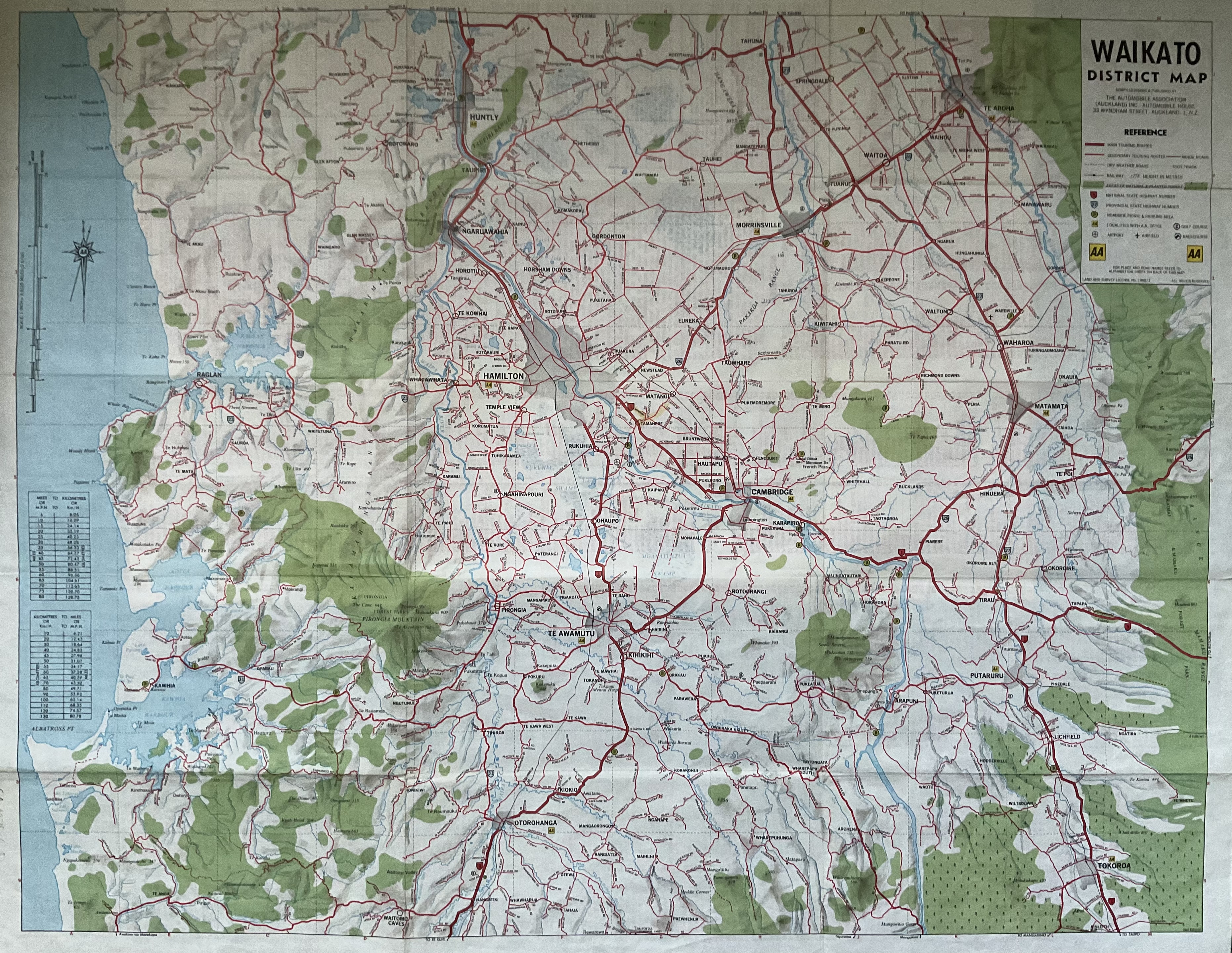
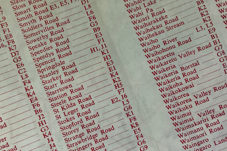
Reverse of the map is an alphabetical map index and an information section on Hamilton city and a list of Places of Interest and information and contact details for the AA in the bottom right corner.
Some paper seperation along the intersecting fold lines .9
Cambridge Public Library Victoria St Cambridge stamped at the top of the front cover.